1. Geography
Santa Rosa lies on the Santa Rosa Plain and it is located in Sonoma County, just 55 miles north of San Francisco, via the Golden Gate Bridge. The eastern part of the city stretches into the Valley of the Moon and the Sonoma Valley, while the western edge lies in the Laguna de Santa Rosa catchment basin.
Santa Rosa and other cities such as Petaluma, Rohnert Park, Windsor, and smaller towns like Sonoma, Healdsburg and Sebastopol, belong to the North Bay region.
The terrain is mostly flat, drained by a number of creeks including the Santa Rosa Creek, Brush Creek, Matanzas Creek, and Piner Creek.
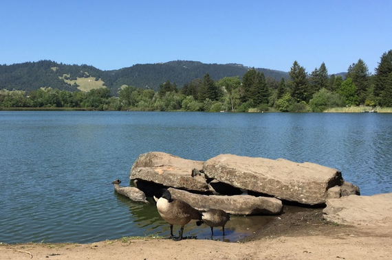
Laguna Santa Rosa, Fountaingrove Lake, Lake Ralphine, and Santa Rosa Creek Reservoir are also other water bodies that run through the city.
Santa Rosa lies along the US Route 101 corridor and has a total area of 41.50 sq. mi, of which 41.29 sq. mi is land and 0.205 sq. mi is water.
Residents and visitors enjoy beautiful views of Bennett Peak, Mount Hood, and Sonoma and Taylor Mountains at the eastern portion of the city.
1.a Climate
Santa Rosa has a Mediterranean climate; the winters are generally cool and wet, while the summers are warm and dry. During the mornings and evenings in the summer, fog and low overcast arrive to the city from the Pacific Ocean, but they usually clear up by late morning or noon as the day warms up. The same foggy conditions return later in the evening and sometimes the brume covers the city all day.
The area gets 40 inches of rain annually, and the number of days with any measurable precipitation is around 73.
Residents enjoy 256 sunny days per year. The July high is usually 83 degrees, while the January low is 38.
According to Wikipedia.com there are an average of 28.9 days with highs of 90 °F or more and an average of 30.2 days with lows reaching the freezing mark.
Light amounts of snow fall sometimes in the nearby mountains, but it is very rare in lower areas.


