1. Geography
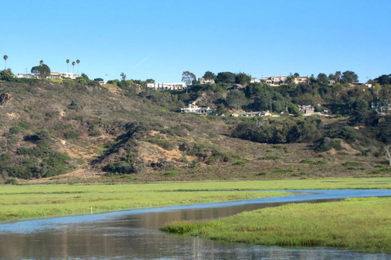
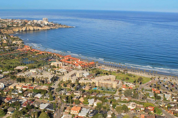
The City of Encinitas stretches six miles along the Pacific coastline in northern San Diego County. Its land features coastal beaches, cliffs, flat-topped coastal areas, steep mesa bluffs and rolling hills.
The city of Encinitas was officially incorporated in 1986 and its territory can be divided in 5 areas: Old Encinitas, New Encinitas, Cardiff-by-the-Sea, Olivenhain and Leucadia.
Encinitas has total area of 20.0 square feet; 1.2 square miles of the its area is water and 18.8 square miles is land.
Part of Encinitas is at sea level, while other areas are at about 180 feet above sea level. In the north part of the city, the land is raised up in form of several coastal bluffs.
Old and New Encinitas are separated by a low-lying costal ridge.
To the north, the city is surrounded by Batiquitos Lagoon, and to the south it is surrounded by San Elijo Lagoon.
1.a Climate
Encinitas has a mild Mediterranean climate; sunny and temperate most of the time. The city gets on average, at about 10 inches of rain during the year.
The wet season lasts from November to March with cool temperatures of 65 degrees Fahrenheit During that period, the marine layer (fog) and rain are common, and sometimes the strong Pacific storms bring heavy rains to the area.
The number of days with any measurable precipitation is 44, and on average, the residents enjoy 263 sunny days each year.
The July high is around 88 degrees, while the January low is 38 degrees.
According to Wikipedia.com, the ocean water temperatures average 60F in winter, 64F in spring, 70F in summer, and 66F in fall.


