1. Geography
San Bernardino, located in the "Inland Empire" (the Riverside-San Bernardino metropolitan area) has an elevation of 1,049 feet above sea level, and a total area of 59.6 square miles, of which 59.2 square miles is land and 0.4 square miles (0.74%,) is water.
The city, which serves as the county seat of San Bernardino County, lies 60 miles east of Los Angeles, 120 miles northeast of metropolitan San Diego, and 55 miles northwest of Palm Springs.
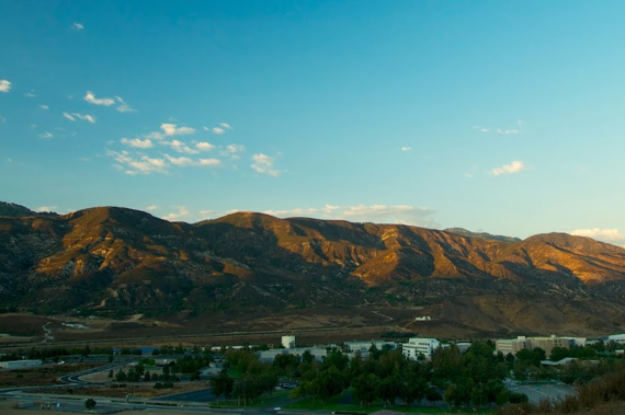
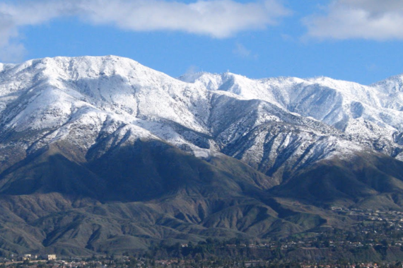
Part of the natural geographical features of this area include: San Bernardino Mountains, the San Bernardino National Forest, Perris Hill, Kendall Hill, and Little Mountain.
Both, San Bernardino Downtown and a large area of the city, are situated on top of the Bunker Hill Groundwater Basin, which consists of the alluvial materials that underlie the San Bernardino Valley.
Santa Ana River rises in the San Bernardino Mountains and runs through the communities of San Bernardino and Riverside. Numerous streams of water such as City Creek, Lytle Creek, San Timoteo Creek, Twin Creek, and Warm Creek feed the Santa Ana River.
Large geographical dividers for the city include: Interstate 215 (the major east-west divider) and State Route 210 (the major north-south divider).
1.a Climate
San Bernardino experiences a hot-summer Mediterranean climate; winters are mild but much colder than other areas in Southern California. During this time, snow flurries occur occasionally in the community, and heavy snow falls at times in the city's northernmost neighborhood of Arrowhead Springs.
The July high is around 96 degrees while the January low is 42.
In 1971, the highest recorded summer temperature was 117 °F.
The Santa Ana winds, that channels through nearby Cajon Pass during the fall, are particularly warm and dry in this area.
The city gets an average of 16 inches of rain, hail or light snow showers per year. The number of days with any measurable precipitation is usually 41.
You will enjoy at least 280 sunny days per year, if you are moving to San Bernardino, California.

